WILDFIRE UPDATE: Fire behavior increases along Cupper Creek near Ukiah
Published 6:00 am Monday, July 29, 2024
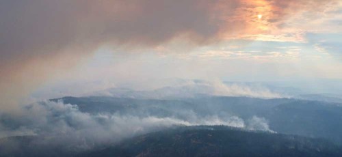
- Wildfire continue to burn July 28, 2024, near Ukiah.
UKIAH — Engagement across the Battle Mountain Complex near Ukiah remained strong Sunday, July 28, as firefighters in zones I and II made progress across the majority of the fires.
The Oregon Department of Forestry in its update also reported west winds shifted to northwest in the afternoon, which fueled fire behavior in some areas. Approaching cooler weather overnight and on July 29 may provide opportunities for firefighters to make strides, however wind could continue to be a challenge across the incident.
The Battle Mountain Complex Zone I continues to challenge firefighters in the Cupper Creek area northwest of Monument, according to the update from state forestry. Winds from the northwest in the afternoon of July 28 prompted fire to spread down into the drainages where it was carried by a mix of wind and terrain.
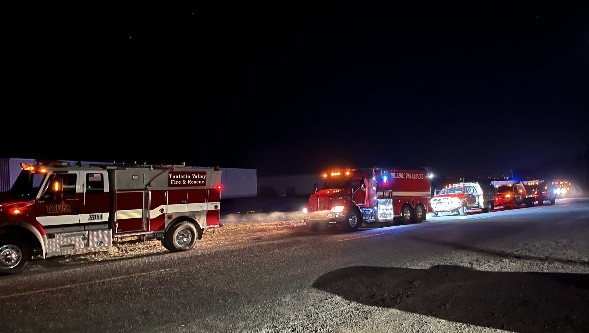
Wildland firefighters and aircraft already were engaged in the area. Oregon State Fire Marshal taskforces also were working near homes in the area and collaborated with wildland crews to prepare for and manage the increase in fire activity.
The Oregon Department of Transportation closed Highway 402 mile point 8.5 while firefighters worked in the area.
Resources were able to hold the line across the rest of Zone I and continued to mop up in areas northwest of Monument along the fire line, ODF reported. Fire crews continued to establish, connect and strengthen line, creating a better barrier between homes and the fire.
In Zone II, the east half of the complex, firefighters focused suppression efforts on the Potamus drainage. Helicopters made water drops to slow the fire’s advance as they continued their efforts to connect lines across the drainage.
ODF also reported crews along the southeastern edge of the fire conducted a burnout operation to remove unburnt vegetation to keep the fire from advancing towards the line.
Along other portions of the fire, crews focused on connecting dozer lines and tightening lines closer to the fire’s edge to prevent additional acres from burning.
Firefighters expanded mop-up operations along more portions of the eastern half of the fire, according to the update. Along existing containment, including the majority of the North Fork Owens Fire perimeter, crews continued to patrol around containment lines to ensure the fire doesn’t reignite and or create spot fires.
For up-to-date evacuation information
Umatilla County — The Umatilla County Sheriff’s Office Facebook page or sign up for the Umatilla County Emergency Alert System.
Grant County — The Oregon Department of Emergency Management’s RAPTOR site or sign up for alerts here.
Morrow County — The Oregon Department of Emergency Management’s RAPTOR site.
Public land closures
The Bureau of Land Management has closed public lands along the John Day River from Kimberly to Dale, and from Kimberly to Service Creek. Find more information here.
The Umatilla National Forest has implemented a closure for public lands within the Heppner Ranger District and the North Fork John Day Ranger District. More information is available here and here.
Total estimated complex size: 172,334 acres
Monkey Creek Fire: 167,850 acres
North Fork Owens Fire: 4,484 acres
Total containment: 8%
Cause: under investigation
Estimated cost: $27,300,000
All resources
Hand crews: 53
Engines: 104
Water tenders: 42
Dozers: 21
Helicopters: 5
Total personnel: 1,745

-
eEdition

-

-