Eye to the Sky: March marks a month of change
Published 6:00 am Thursday, March 20, 2025
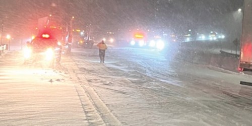
- Winter weather the night of March 9, 2023, strands semitrailers on Interstate 84 at Ladd Canyon east of La Grande.. The National Weather Service in Pendleton reports that for March through May 2025, the Climate Prediction Center is calling for temperatures to be generally below normal though there are some areas of “equal chances” over Oregon. (Oregon Department of Transportation/Contributed Photo, File)
With March, most people are looking forward to warmer weather, longer days and spending more time outdoors. Of course, March also marks the beginning of spring, with the equinox officially arriving on March 20 at 2:01 a.m. Pacific time.
However, does the beginning of spring mean we will see spring-like weather?
Taking a quick look back at winter, most areas had above normal temperatures in December and above normal precipitation. January was a bit more mixed with most lower elevation locations near or slightly below normal for temperatures and below normal for precipitation. The real cold air and snow didn’t arrive in the lower elevations until February.
Trending
For the three month period, March through May, the Climate Prediction Center is calling for temperatures to be generally below normal though there are some areas of “equal chances” over Oregon where the data is not giving them enough of a signal to make a prediction either way. For the same period, most of the Pacific Northwest is forecast to have above normal precipitation. It seems as the further south and east you go across the region, the less certainty there is about both temperature and precipitation.
As we move through the spring months we are forecast to transition from a weak La Niña to an ENSO — El Niño Southern Oscillation — neutral, which is neither El Niño or La Niña. Usually the effects of ENSO are felt most during the winter months, but as we move from one ENSO state to another, predictability can be a bit lower. Of course, there are other factors that go into long range climate forecasting than ENSO as well, but ENSO is one of the largest contributors, and the most well known.
If we do end up with above normal precipitation this spring, that could help either delay or curtail the fire weather season, which after the 2024 fire weather season would be a big plus. However, depending on how much precipitation falls, how quickly and where, a lot of rain, coupled with snow melt and temperatures could bring river and small stream flooding. If the below normal temperatures do come to fruition, they will keep the snow from melting as quickly, but, at the same time, will keep snow in the mountains longer. That snow eventually has to melt when it does warm up. A slow steady melt is better than a rapid warm up that causes a quick melt as all that water has no place to go.
March is often a changeable month and marks the beginning of spring. There are two additional months to go and only time will tell if the forecast ends up being correct for the spring season and if the transition to an ENSO neutral impacts the weather across the areas and how much.
Larry Nierenberg is a senior forecaster for the National Weather Service in Pendleton. He leads National Weather Service community outreach and hazardous weather preparedness and resiliency programs.
Trending
Marketplace


-
eEdition

-

-
