WILDFIRE UPDATE: ODF reports progress on fire near Ukiah
Published 7:45 pm Friday, August 2, 2024
UKIAH — Firefighters continued to make strides holding lines and building containment on wildfires near Ukiah as they prepared Friday, Aug. 2, for rising temperatures and red flag conditions.
Temperatures in Northeastern Oregon crested 100 degrees. Fire officials also reported concern about wind gusts up to 20 mph plus limited visibility from smoke from other fires in the region, according to the latest update on the Battle Mountain Complex from the Oregon Department of Forestry.
Firefighters focused on gaining mop-up depth and cooling materials deeper from the perimeter along the entire fire.
“As temperatures rise, mop up helps ensure that any reheated or ignited materials can’t escape the fire perimeter,” according to ODF.
In Zone I, crews continued mopping up around structures and extending containment. Firefighters continued mopping up along the southeast corner of the Monkey Creek Fire near Monument. They’re also focused on securing containment along the north.
In Zone II, firefighters focused on the north-central region between Ditch Creek and the Potamus drainage.
ODF also reported residents should continue to expect to see smoke in the interior and the unburnt island within the fire perimeter as unburnt vegetation burns well within the fire’s footprint. Crews will continue to patrol the fire’s perimeter, including portions considered contained.
The Oregon Department of Forestry also reported Incident Management Team 1 at 6 p.m. transferred command of the Monkey Creek Fire to ODF Incident Management Team 3, putting that team in command of the entire fire.
For up-to-date evacuation information
Evacuation levels have decreased in many areas. Learn more about evacuation levels for each county:
Umatilla County — The Umatilla County Sheriff’s Office Facebook page or sign up for the Umatilla County Emergency Alert System.
Grant County — The Oregon Department of Emergency Management’s RAPTOR site or sign up for alerts here.
Morrow County — The Oregon Department of Emergency Management’s RAPTOR site.
Public land closures
The Bureau of Land Management has closed public lands along the John Day River from Kimberly to Dale, and from Kimberly to Service Creek. Find more information here.
The Umatilla National Forest has implemented a closure for public lands within the Heppner Ranger District and the North Fork John Day Ranger District. More information is available here and here.
Total estimated complex size: 179,080 acres
Monkey Creek Fire: 174,596 acres
North Fork Owens: 4,484 acres
Total containment 23%
Cause: under investigation
Estimated cost: $36,299,415
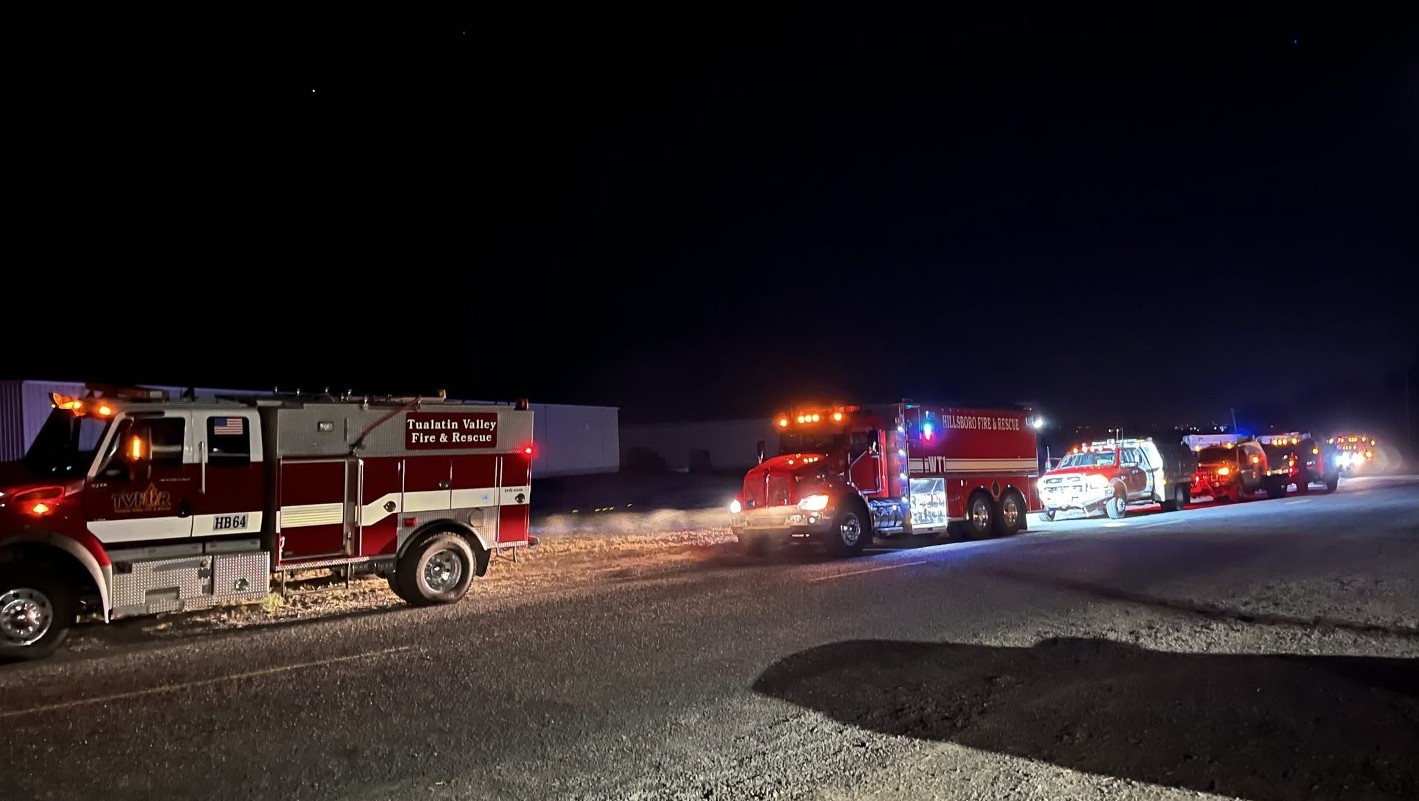
All resources
Hand crews: 65
Engines: 81
Water tenders: 39
Dozers: 28
Helicopters: 6
Total personnel: 2,029


-
eEdition

-

-