La Nina getting cooler, could be a strong one
Published 8:00 am Monday, November 16, 2020
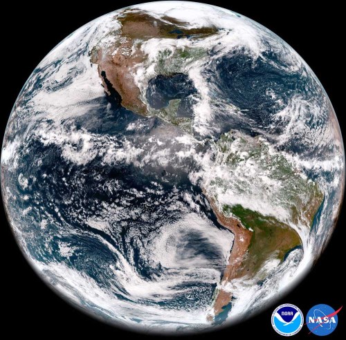
- A La Nina weather pattern is likely to cause a cold, wet winter, the National Oceanic and Atmospheric Administration reported Thursday, Aug. 12, 2021.
SALEM — La Nina tightened its cold grip on the Pacific Ocean in the past month, leading federal forecasters to predict the first strong La Nina in a decade.
Sea-surface temperatures cooled in October into a “moderate” La Nina and have a 54% chance of cooling further into a “strong” La Nina by the end of November, the National Weather Service said recently.
Trending
Ocean temperatures haven’t dropped into the strong La Nina category since the winter of 2010-11. The following spring, Washington’s snowpack was 115% of normal.
Washington State Climatologist Nick Bond said the outlook bodes well for the 2021 snowpack and irrigation season.
“Maybe this La Nina won’t be a whopper, but it will be significant,” he said.
La Nina’s influence likely will be strongest early next year and cause winter to hang on through early spring, Bond said.
“Everything looks good right now, no guarantees, but everything is coming together for cool and wet weather after the first of the year,” he said.
Low sea-surface temperatures affect wind patterns, triggering changes in the atmosphere that lead to storms forming near Alaska and dropping south into Washington.
Trending
The storms should moderate a warmer-than-average ocean off the West Coast, Bond said.
In some recent winters, warm water offshore — nicknamed “the Blob” — has contributed to mild winters.
“I don’t think that’s going to be too big of a factor compared to some past years,” Bond said.
La Nina is also expected to make winter cooler than average in the Idaho panhandle.
La Nina probably will make the winter relatively warm in the southern tier of the U.S., beginning in Northern California, according to the weather service’s Climate Prediction Center.
La Nina has less influence in Oregon and most of Idaho. Federal forecasters said in October that those regions have equal chances of cool or warm winters.
The prediction center will update the winter outlook Nov. 19. Sea-surface temperatures drive the outlook for the U.S. Forecasters have ruled out the ocean warming and forming a snowpack-reducing El Nino.
A section of the mid-Pacific Ocean along the equator cooled to 1.1 degrees celsius below normal in October, from 0.95 degrees in September. The threshold for a strong La Nina is 1.5 degrees below normal.
The prediction center looked at two dozen forecasting models and concluded the odds favor a strong La Nina in November, December and January.
Every model predicted the ocean will be cooler than average, though there was a wide range.
A model developed by NASA forecast sea-surface temperatures will be 2.66 degrees below normal.
At the other end, the Lamont-Doherty Earth Observatory at Columbia University predicted sea-surface temperatures will be just 0.22 degree below average.
The prediction center said La Nina already has had a significant effect on the atmosphere, another observation that favors it will be strong.
Marketplace


-
eEdition

-

-
