800 Miles Of Juniper And Jack Rabbits: First Hiker Completes Oregon Desert Trail
Published 2:11 pm Friday, July 12, 2013
A 33-year-old hiker has just become the first person to hike a proposed trail that spans roughly 800 miles across Oregon’s high desert.
The trail runs from Bend to the Owyhee Canyonlands near the Idaho border. The Oregon Desert Trail — as it’s being called — connects many wilderness areas and proposed wilderness areas.
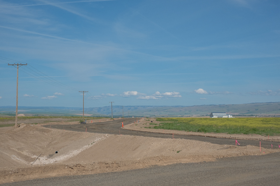
The trail begins at the edge of the Oregon Badlands Wilderness Area, at the intersection of an irrigation canal and a trailhead just east of Bend. As you walk along the trail you can see all around is a mix of sagebrush and juniper trees. In fact, some of these are among the oldest trees in the state.
This entire trail — all 800 plus miles of it — is on public lands. Some of it’s suitable for beginners, but other parts are for more experienced hikers. Sometimes there’s an actual trail, but on other sections hikers would need to trek cross country by following GPS points.
Follow these points and you’d see dry-cracked earth of the Alvord Desert. You’d climb high above the aspen stands that line Steens Mountain and descend into the Owyhee Canyonlands, where the rock walls tower 1500 feet above your head.
Brent Fenty is the executive director of the Oregon Natural Desert Association, a conservation group based in Bend.
“I think a lot of people do identify Oregon as a forest state and the reality is over half the state is desert,” Fenty says.
The idea for this trail came to him three years ago on what turned out to be a long sleepless night.
“I was in bed and the light was off and I started thinking about trips that I wanted to do, hikes that I wanted to do in Oregon’s High Desert that summer. And then from that lead to a thought process of well how could you get from, for instance Hart Mountain over to Steen’s Mountain without having to get in the car and trek yourself over,” Fenty recalls.
In the years that followed, Fenty worked with ONDA mapmakers and volunteers to create a route that goes through as many proposed or existing wilderness areas as possible while at the same time avoiding conflicts with environmental and cultural resources.
Sage Clegg volunteered to become the first person to hike the entirety of this trail. In her day job, Clegg studies desert tortoises as a wildlife biologist. But as a long-distance hiker, she’s known for her speed.
“Some people love curling up with a good book. And I just really like looking at maps. I read them like they’re a book. I look at them and try to get a sense of what it might be like to travel out there,”Clegg says.
According to Clegg water will be the biggest challenge for anyone hiking the trail. The first 200 miles of the Oregon Desert Trail are incredibly dry. During certain stretches Clegg carried up to 10 pounds of water on her back.
But that part of the trail is also accessible by old roads, so Clegg was able to position her water caches in advance. Further down the trail water becomes more accessible, at least that’s what the map says.
Part of Clegg’s job during the hike was to double check to make sure those water sources were actually there.
ONDA plans to submit a final report to land management agencies recommending the trail be included on official maps.
Brent Fenty says he thinks recognition of the trail would lead more people to discover what he calls the “treasures of the high desert.”
“You know, once you’ve spent time in an area, a map is no longer two-dimensional. It starts to evoke images of places you’ve been and seen and experiences you’ve had,” Fenty says.
Clegg says she feels privileged to be the first to hike the trail, although she says she doesn’t want to be the last. Not everybody is able to take an entire month to do something like this. She envisions some hikers might tackle the Oregon Desert Trail one section at a time.
You don’t need to be superhuman, she says. You just need to be fortunate enough to be able to walk.
“It’s amazing where my feet can take me. It’s just so amazing. Every day I get done at the end of a day, especially on these desert hikes, and I can look back and I can usually see the mountain range off in the distance that I started at. And it’s just this amazing sense of satisfaction,” Clegg says.
Of course, this is the desert. Clegg had the right training and equipment before she started down this dry, rocky trail.
ONDA plans to make the map of the trail available on its website by the end of the year.
This story originally appeared on Oregon Public Broadcasting.


